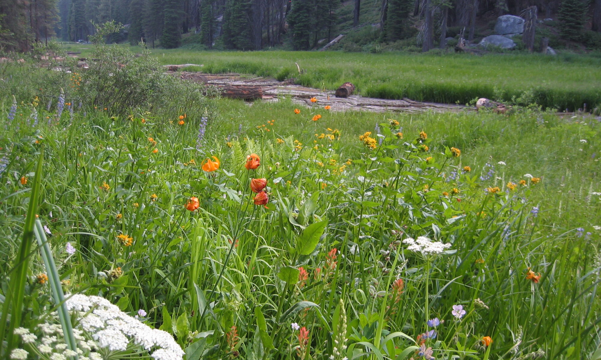
Just announced: We’ve been fully funded to complete the restoration that we started last year! It was a lot of work helping to oversee the 3.5-month Phase 1 restoration but the job isn’t done. Planting this spring, another 3.5-month earthwork push this summer/fall, more planting spring 2025, and then probably some maintenance over the following few years. This has been years in the making, this is really about phase 5 out of 9 or 10! https://www.gov.ca.gov/2024/03/13/california-distributes-50-million-to-boost-salmon-population/
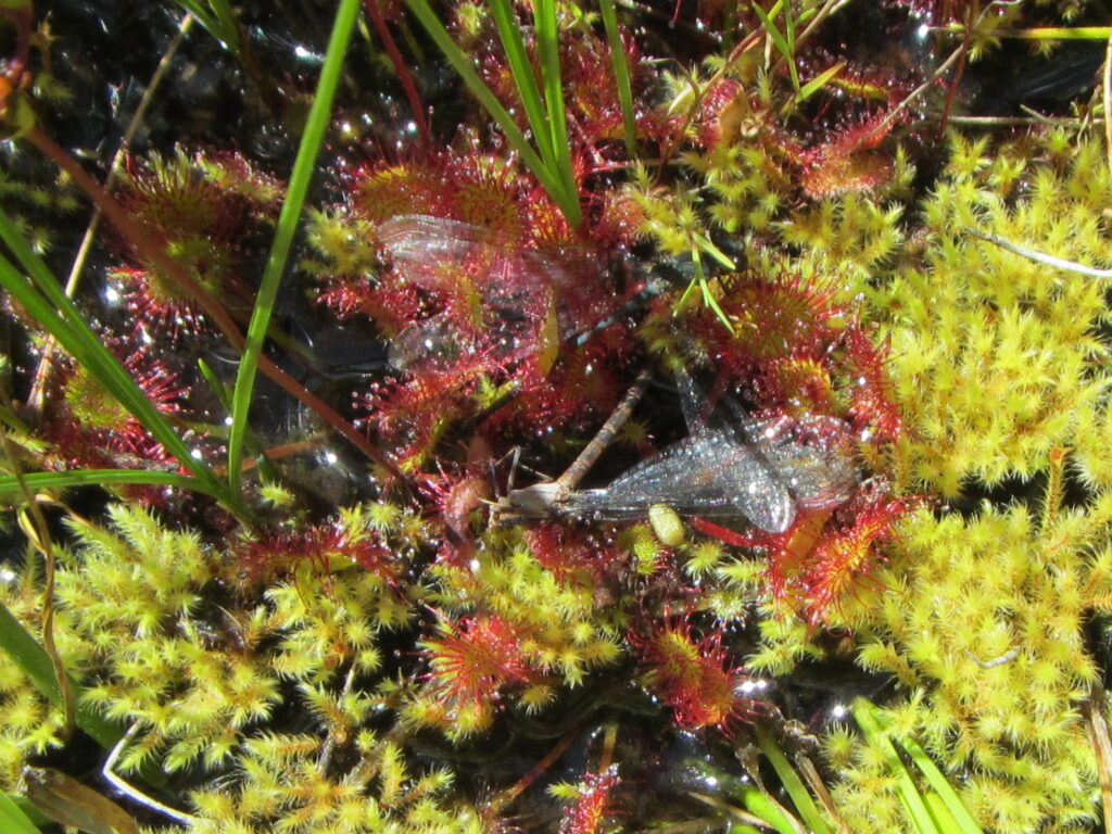
In honor of Darwin’s Birthday here’s a picture of a few damselflies caught by roundleaf sundew in a Sierra Nevada wetland. Darwin studied roundleaf sundew’s carnivorous adaptations to life in harsh environments and published his findings in “Insectivorous Plants” in 1875. https://archive.org/details/insectivorousplant00darw
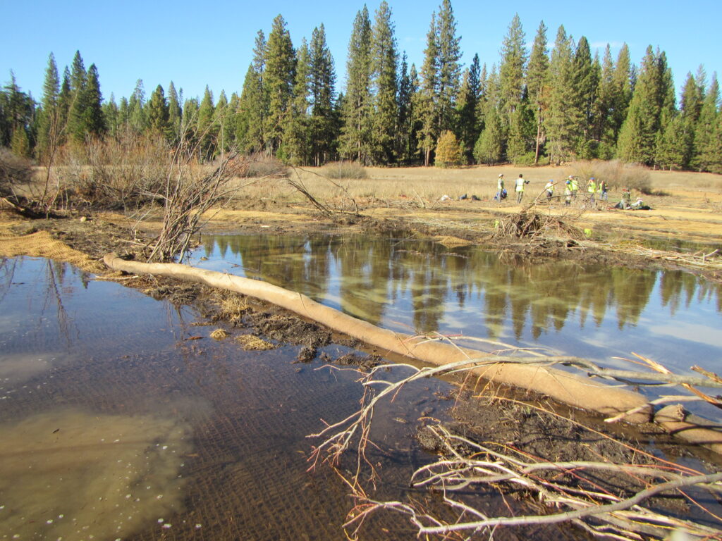
For World Wetlands Day here’s a picture of water flowing out onto the surface of Ackerson Meadow, Yosemite National Park for the first time in >100 years. It’s an honor and privilege to be a part of the team restoring this wetland by filling in an enormous erosion gully. https://www.nps.gov/yose/getinvolved/ackersonmeadow.htm
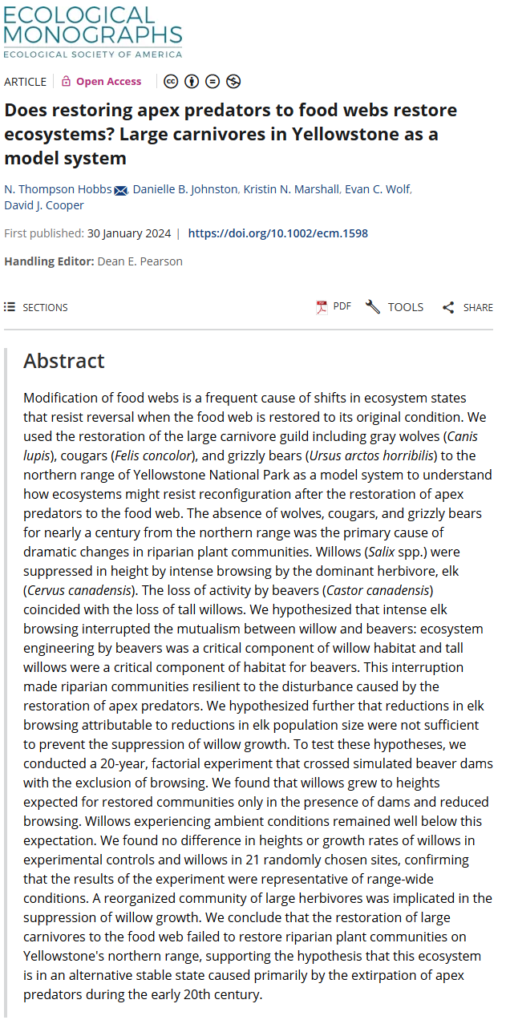
I started my professional ecological research with my Masters project in Yellowstone National Park more than two decades ago. During that project I helped establish the long-term research plots and data collection methods that led to this just-published summary of what happens when willows are protected from browsing and have extra water provided by simulated beaver dams.
As we hypothesized, the small streams in Yellowstone that used to support resident beaver for centuries, but lost them in the 1920s-1930s, have not seen a rapid recovery of willow just because wolves were reintroduced in the 1990s. Nor have the beavers returned in significant numbers. The impacted ecosystem, where streams eroded through the long-abandoned beaver dams and dried out conditions for willows, needs more than just reduced browsing pressure to recover.
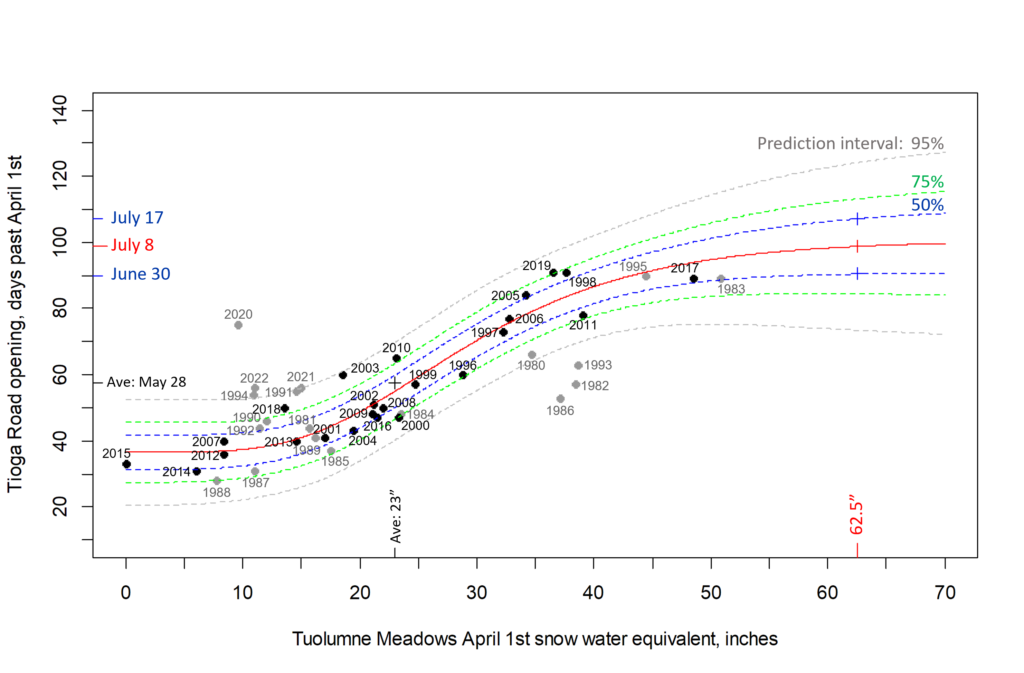
It’s that time of year again to guess when the Tioga Road will open!
The 2023 Tioga Road opening date prediction is July 8th,
with a 50% chance that the real opening date will fall between June 30th and July 17th.
This is based off of the WHOPPING 62.5″ of snow water equivalent measured at the Tuolumne Meadows snow course for the April 1 report.
This huge winter has presented many challenges, this prediction included. For the first time since I started this in 2018 I need to extrapolate, to make a prediction outside of the range of existing data. I’ve ditched the linear model, since it doesn’t make sense that added inches of Apr 1 snow will have the same effect on road openings from May to July. As a snowpack lingers into June, those extra inches will melt away much faster than they did in April and May. So, I switched to a Gompertz function that has a lower and upper asymptote, which seems like a much better model for how snowpack affects getting a road open.
Data excluded from the model are the grey dots and dates on graph: 1995 and earlier, due to significantly different wilderness and safety regulations; 2020-2022 due to covid impacts to Park staffing and operations.
I’ll post the R code to Github if anyone wants it.
Wood, SH (1975) Holocene stratigraphy and chronology of mountain meadows, Sierra Nevada, California. PhD dissertation, California Institute of Technology, Pasadena, CA
FIGURE 2-1WRITTEN SUMMARY
Valley-fill deposits, exposed by Twentieth-Century dissection of a number of meadows on the west slope of the southern Sierra Nevada, contain a stratigraphic record strongly affected by secular variations in watershed hydrology during the Holocene. Meadows are situated in low gradient reaches, adequately supported by seepage water, where fine textured materials accumulate under present hydrologic conditions· Meadows do not necessarily owe their origin to glacial modification of drainage. Many meadows have formed in both glaciated and unglaciated valleys by a water table rise in valley-fill deposits.
Ground water in any meadow drainage basin is annually recharged by snowmelt. Significant evapotranspiration by meadow plants causes diurnal fluctuations of growing-season water tables on the order of 0.2 to 0.5 ft and seasonal fluctuations of 2 to 4 ft. Growing-season water-table depths are characteristically different for the two major plant communities, being usually shallower than 2 feet for meadows, and deeper than 4 ft for conifer forests. This relationship and a ground-water model are used to interpret paleohydrologic variations recorded in valley-fill stratigraphy.
Stratigraphy, radiocarbon dating, and tephrachronology indicate the following sequence in upper tributary valleys of the montane belt. Pre-Holocene cobbly alluvium rests upon bedrock. A paleosol developed upon this alluvium between 10,200 and 8700 radiocarbon years B.P., records an early post-glacial climatic interval that established forests in the present upper montane belt. The overlying sequence of coarse loamy materials associated with in situ conifer stumps indicates one or more intervals of good soil drainage and dry valley-bottom conditions between 8700 and 1200 years B.P. At some sites there is an abrupt change from forest soils to overlying wet-meadow deposits dated 2500 years at some sites and 1200 years at others, suggesting many meadows originated coincidentally with neoglaciation in the Sierras. A water-table rise of a few feet, resulting from late melting snows, could cause the change from forest to meadow conditions. Meadow deposits are composed of organic-rich, sandy-loam, topsoil layers intercalcated with sheets of well-sorted sandy gravels deposited by flood flows with recurrence intervals greater than 50 years.
A plot of upstream catchment area and valley gradient for dissected and undissected meadows indicates the geomorphic domain of unstable meadows subject to gully erosion under present hydrologic conditions on the Sierra west slope. Two pumiceous tephra layers, widespread in meadow topsoils of the southern Sierra, are radiocarbon dated and attributed to tephra-ringed eruptive centers at opposite ends of the Mono-Inyo Crater chain of eastern California. Tephra 1, characterized by sanidine microphenocrysts and Sr content of 215 ppm, erupted 720 years B.P. Distribution of this tephra is confined to a south trending lobe extending 120 miles over the Sierra from the upper San Joaquin drainage to the Little Kern drainage. Trace element analysis of tephra 1 best match those of the tephra-ringed obsidian flow just south of Deadman Creek in the Inyo Craters. Tephra 2, characterized by a lack of microphenocrysts and Sr contents less than 20 ppm erupted from one of the northern Mono Craters eruptive centers. These two tephras appear to represent the most recent explosive eruptions of magma from this 40-km long chain of Holocene volcanoes.
Sharsmith, C (1959) A report on the status, changes, and ecology of back country meadows in Sequoia and Kings Canyon National Parks. Report to Sequoia and Kings Canyon National Parks. Photographed in Park archives, Three Rivers, CA.
Dickison, FF (1956) Field trip report – Sequoia Kings Canyon National Park. Report to Sequoia and Kings Canyon National Parks. Photographed in Park archives, Three Rivers, CA.
FIGURE 10WRITTEN SUMMARY
The land of Sequoia suffered rather extensive damage by the floods of the Christmas season of 1955. These floods, caused by heavy, warm rains on snow, resulted in intensive scouring of all drainage areas. Other damage to trails, roadside drainages, wet meadows, etc., was also extensive. Field observations, with some exceptions, were principally conducted in the Roaring River section of the Kings Canyon area of the Park. Some general reconnaissances were conducted in the Giant Forest district and an intensive survey was made of the Halstead Meadow area of this district.