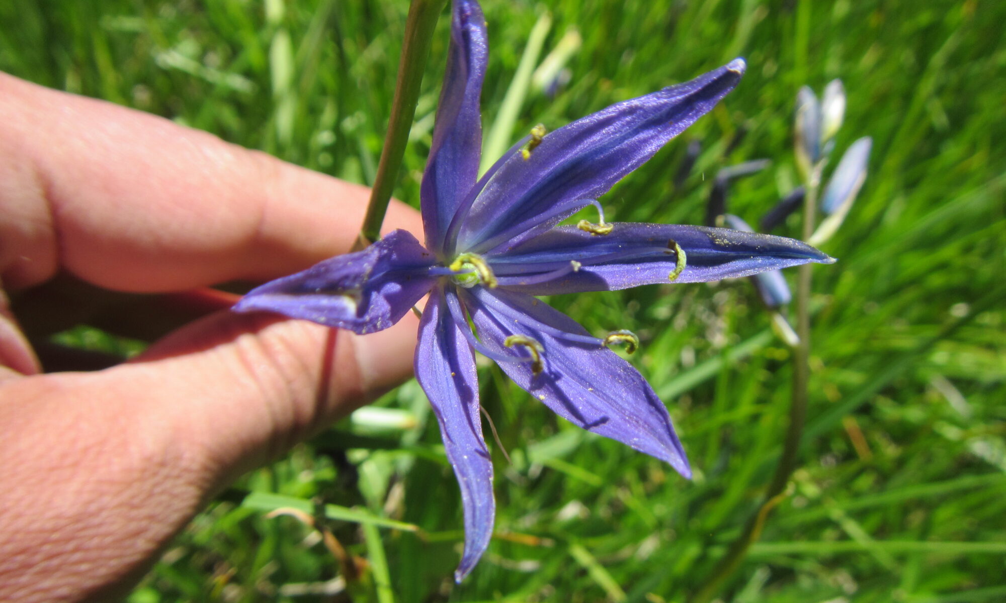
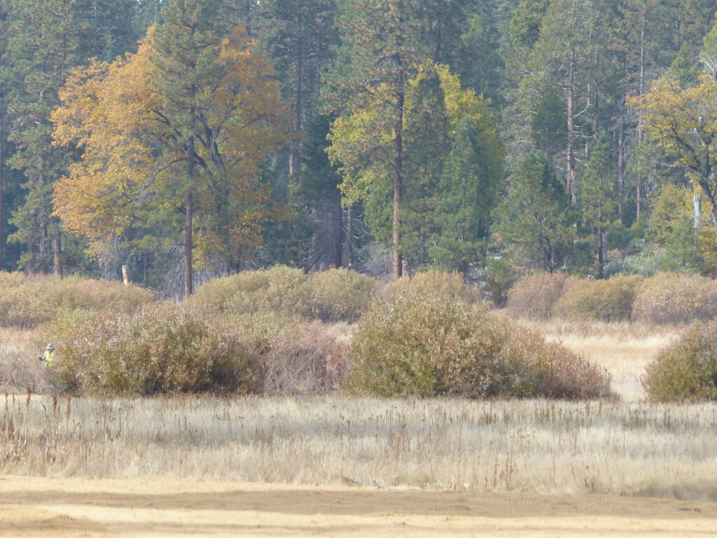
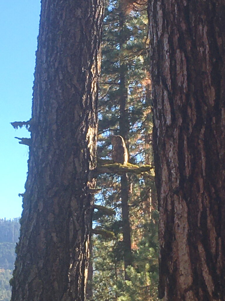
I’ve recently returned from an amazing trip to Evolution Valley in Kings Canyon National Park where I’m working with the Park and the John Muir Trail Wilderness Conservancy to restore impacted wilderness wetlands. During my research into the earliest descriptions of the valley, I’ve determined that the first written account of Evolution Valley (unnamed at the time) was by John Muir himself.
Early landscape descriptions are extremely valuable when assessing ecosystem function because they give a sense for how much, or little, a place may have changed through time and due to human impacts.
Theodore Solomons, who named the Evolution group of peaks in 1895 and who conceived of and planned what would become the John Muir Trail, is often credited with writing the first description of the area. Solomons (1896), Mt. Goddard and its vicinity – in the high Sierra of California. Appalachia 8:41–57.
However, John Muir was there 22 years earlier, and I’m not the first to note that Muir almost certainly walked through Evolution Valley during his 1873 trip up the San Joaquin River.
In 1925 Francis Farquhar wrote, in Exploration of the Sierra Nevada (page 28):
“In 1873 Muir… set out on a solitary journey for a few days and climbed the highest mountain at the head of the San Joaquin, which he supposed was the one named by the Whitney Survey Mount Humphreys. His description, however, clearly indicates that he was on one of the mountains a little farther south, probably Mount Darwin”.
Mount Darwin, as the name implies, sits atop the head of Evolution Valley.
Construction of the John Muir Trail, which runs through Evolution Valley, began in 1915, a year after Muir’s death. The trail is a wonderful tribute to him, and I think it’s fitting to discover that John Muir was the first person to write about one of the most spectacular sections of the trail in his typically exuberant voice.
Here is John Muir’s description of Evolution Valley [with my notes in brackets], from The Mountains of California (1894), chapter 14, pages 308-312:
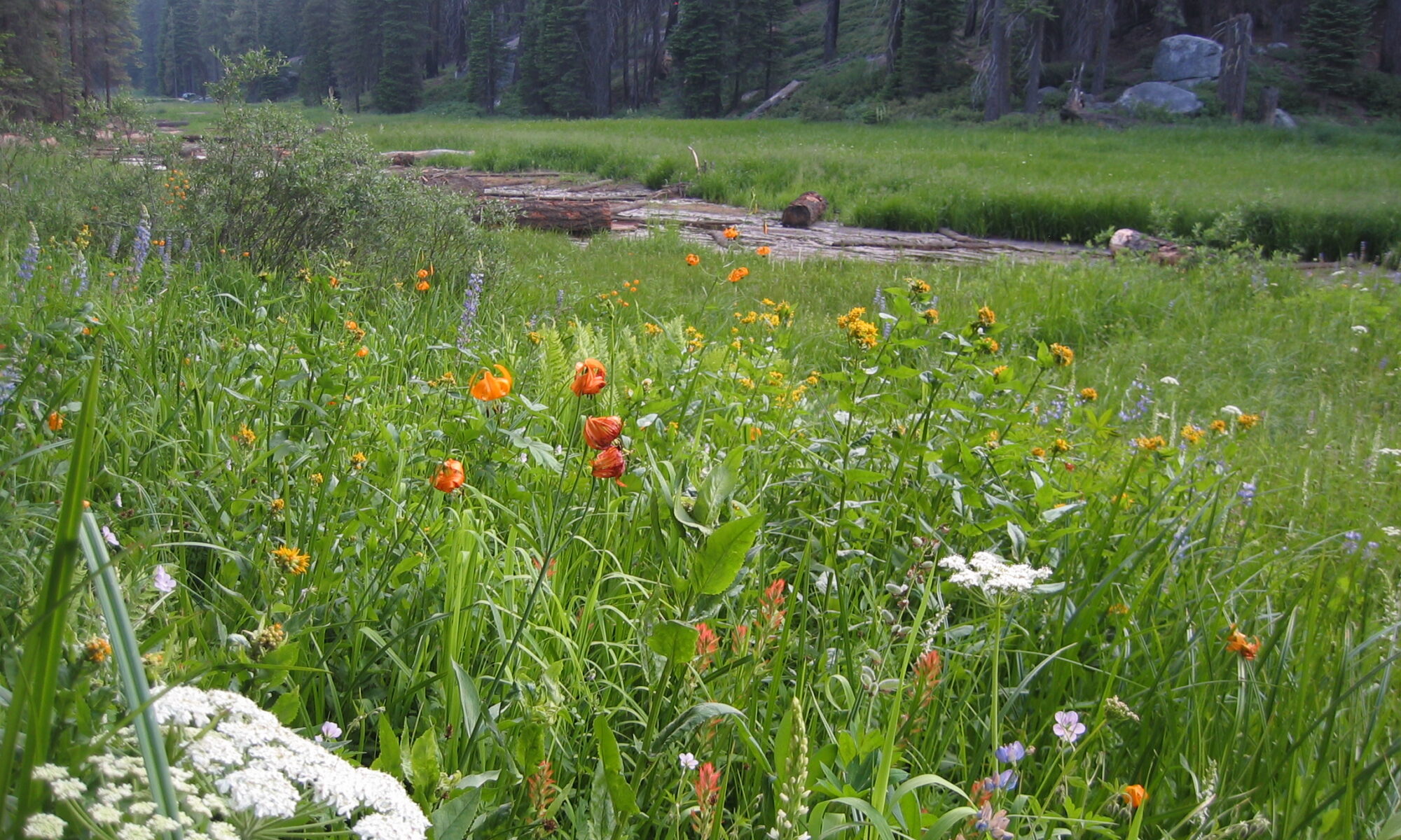
“In the fall of 1873 I was tracing the South Fork of the San Joaquin up its wild cañon to its farthest glacier fountains… On my way over the glacier-polished rocks along the river, I came to an expanded portion of the cañon, about two miles long and half a mile wide, which formed a level park inclosed with picturesque granite walls like those of Yosemite Valley… I lay down to sleep on a smooth place among the yellow leaves of an aspen grove… [The Blayney Meadow area at 7640 ft best matches this description: it is 1.8 miles long, 0.4 miles wide at its widest, contains an uncommonly large aspen grove, and its lower end is an abrupt transition from confined stream channel canyon (downstream) to broad meadow with tall flanking cliffs (upstream). Neither of the other two possible locations, Jackass Meadow at 7180 ft or Aspen Meadow at 8200 ft, match his description as well.]
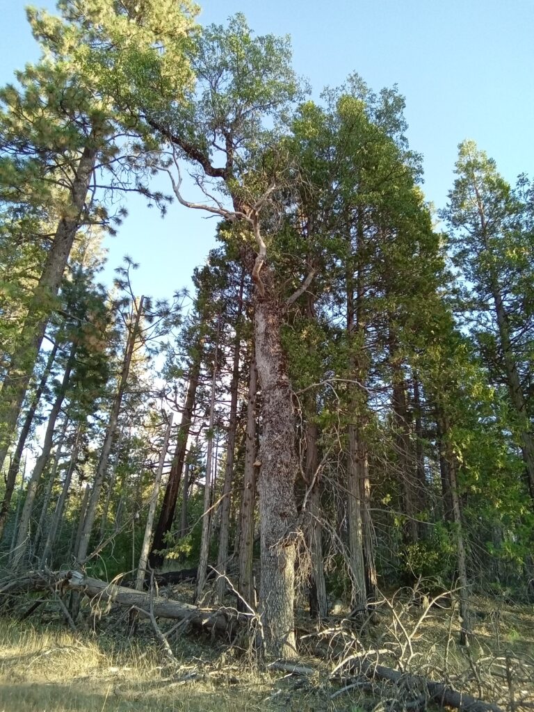
Next day I discovered yet grander landscapes… Following the river over huge, swelling rock-bosses through a majestic cañon, and past innumerable cascades, the scenery in general became gradually wilder and more alpine. The Sugar Pine [Pinus lambertiana, 3900-8600 ft] and Silver Firs [Abies concolor, 4200-10800 ft] gave place to the hardier Cedar [Juniperus grandis, 5900-10200 ft] and Hemlock Spruce [Tsuga mertensiana, 8800-10900 ft]. The cañon walls became more jagged and bare… [This description matches well with Goddard Canyon, whose floor is at ~8300 ft and rim at ~10300 ft] …
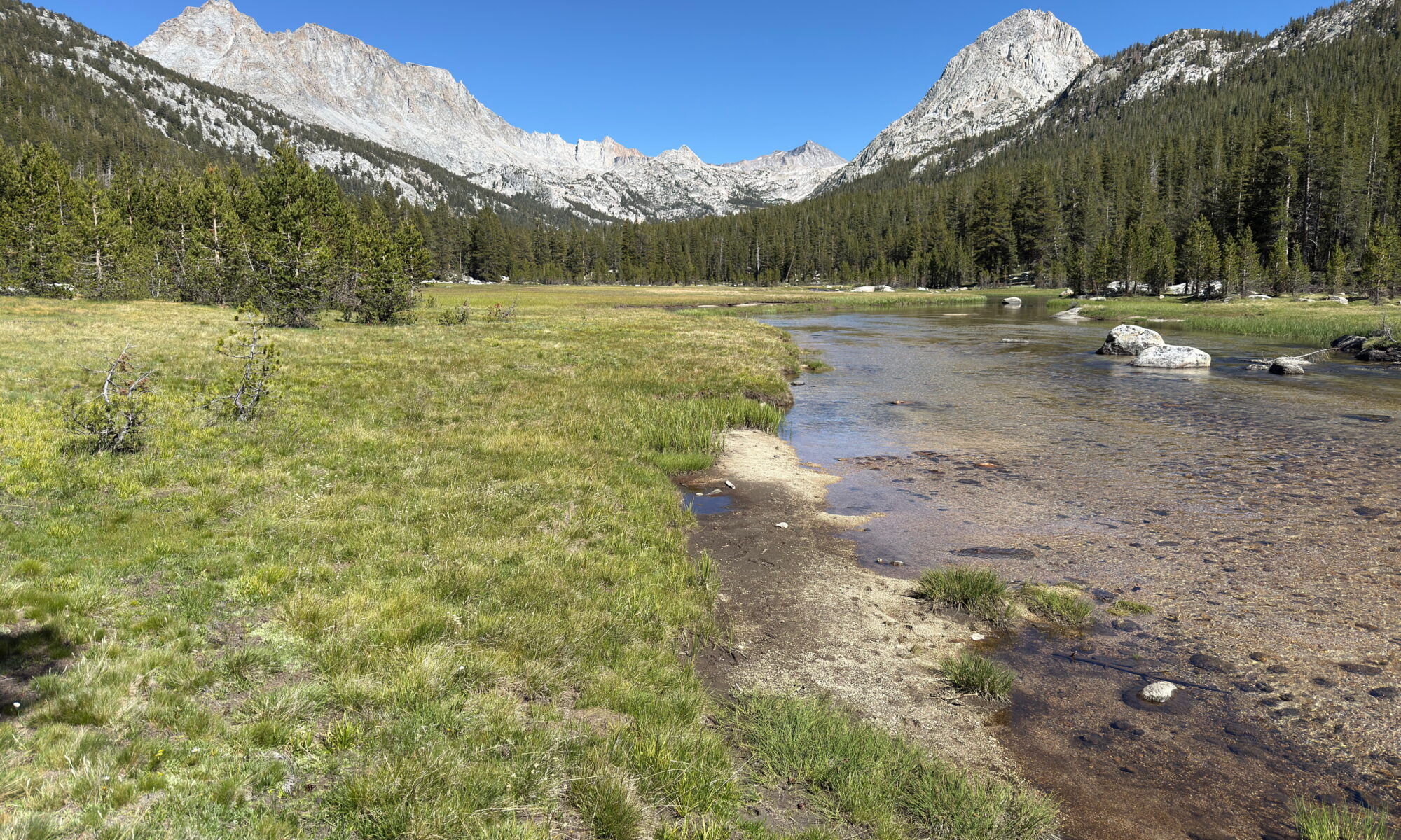
Towards the middle of the afternoon I came to another valley, strikingly wild and original in all its features, and perhaps never before touched by human foot [my emphasis]. As regards area of level bottom-land, it is one of the very smallest of the Yosemite type, but its walls are sublime, rising to a height of from 2,000 to 4,000 feet above the river. At the head of the valley the main cañon forks, as is found to be the case in all yosemites. The formation of this one is due chiefly to the action of two great glaciers, whose fountains lay to the eastward, on the flanks of Mounts Humphreys and Emerson and a cluster of nameless peaks farther south. [This is probably Evolution Valley, 9200-9900 ft; from Blayney Meadows about 9 miles to the valley mouth and 15 miles to the valley head, reasonable distances for Muir to have traveled by mid-afternoon and evening, respectively].
The gray, boulder-chafed river was singing loudly through the valley, but above its massy roar I heard the booming of a waterfall, which drew me eagerly on; and just as I emerged from the tangled groves and brier-thickets at the head of the valley, the main fork of the river came in sight, falling fresh from its glacier fountains in a snowy cascade, between granite walls 2000 feet high. The steep incline down which the glad waters thundered seem to bar all farther progress.”
The falls that Muir describes match well to those at the head of Evolution Valley. They are the only significant perennial falls near the head of any of the South Fork San Joaquin river tributaries. The other major glacial valleys of Goddard Canyon, Piute Canyon, and French Canyon all climb gradually to broad lake-filled cirques with no cascades at their head. In addition, Muir’s assessment of the headwaters being east of the valley head and at or south of Mt. Humphreys and Mt. Emerson would further suggests he was in one of the two parallel west-east trending valleys: Piute or Evolution Valley. The headwaters of north-south trending French Canyon lie distinctly north of the valley head and north of Mt. Humpheys and Mt. Emerson. Similarly, Goddard Canyon trends north-south and its headwaters are to the south of the valley and lie far south of Mt. Humphreys and Mt. Emerson.
The head of Piute Canyon is a vast open lake-dotted upland called the Humphreys Basin that drains Mount Humphreys and Emerson to the east. However, the broad open basin contains no cascades or steep valley walls, and in no other way matches Muir’s description. Nor do any of the small cirque-lake-headed valleys that line the south side of Piute Canyon and the Humphreys Basin along the Glacier Divide. The headwaters of Evolution Valley lie to the east of the valley head and could reasonably be mistaken to include drainage from Mount Humphreys and Emerson to the north, and definitely do include drainage from at-the-time-nameless peaks to the south of those two mountains. In addition, Evolution Valley is the only location with a large perennial waterfall at a steep valley head that branches as two distinct glacial paths. The glacial valley branch may refer to either McGee Canyon, a large glacial valley tributary to Evolution Valley or the branching may refer to the very head of Evolution Valley where two small hanging or stepped valleys converge: one north towards Evolution Lake and the Darwin Bench, and one to the east containing a small unnamed basin perched above Evolution Valley. The cascade of Evolution Creek falls down the cliff between these two elevated valleys.
This comparison of the regional geography to Muir’s description makes it clear that he was in fact writing the first account of Evolution Valley in 1873. As mentioned earlier, Francis Farquhar came to a similar conclusion in 1925, as did James G Moore in his excellent book “Exploring the Highest Sierra” (pages 71-75). It should also be noted that an anonymous Google Earth Community member known as “spacecowboy2006” posted Muir’s description under the heading “Muir in Evolution Valley” on 2009July12.
Read my 2021 Evolution Valley report