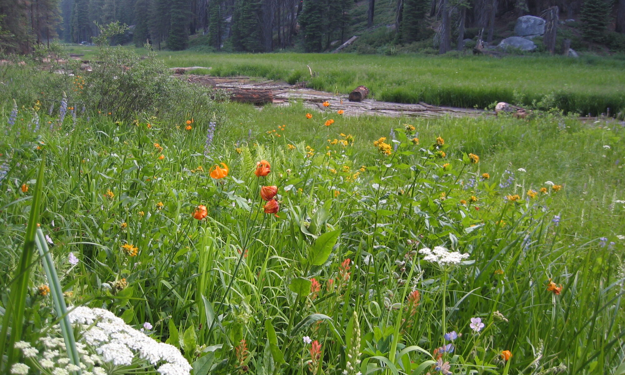
Valley-fill deposits, exposed by Twentieth-Century dissection of a number of meadows on the west slope of the southern Sierra Nevada, contain a stratigraphic record strongly affected by secular variations in watershed hydrology during the Holocene. Meadows are situated in low gradient reaches, adequately supported by seepage water, where fine textured materials accumulate under present hydrologic conditions· Meadows do not necessarily owe their origin to glacial modification of drainage. Many meadows have formed in both glaciated and unglaciated valleys by a water table rise in valley-fill deposits.
Ground water in any meadow drainage basin is annually recharged by snowmelt. Significant evapotranspiration by meadow plants causes diurnal fluctuations of growing-season water tables on the order of 0.2 to 0.5 ft and seasonal fluctuations of 2 to 4 ft. Growing-season water-table depths are characteristically different for the two major plant communities, being usually shallower than 2 feet for meadows, and deeper than 4 ft for conifer forests. This relationship and a ground-water model are used to interpret paleohydrologic variations recorded in valley-fill stratigraphy.
Stratigraphy, radiocarbon dating, and tephrachronology indicate the following sequence in upper tributary valleys of the montane belt. Pre-Holocene cobbly alluvium rests upon bedrock. A paleosol developed upon this alluvium between 10,200 and 8700 radiocarbon years B.P., records an early post-glacial climatic interval that established forests in the present upper montane belt. The overlying sequence of coarse loamy materials associated with in situ conifer stumps indicates one or more intervals of good soil drainage and dry valley-bottom conditions between 8700 and 1200 years B.P. At some sites there is an abrupt change from forest soils to overlying wet-meadow deposits dated 2500 years at some sites and 1200 years at others, suggesting many meadows originated coincidentally with neoglaciation in the Sierras. A water-table rise of a few feet, resulting from late melting snows, could cause the change from forest to meadow conditions. Meadow deposits are composed of organic-rich, sandy-loam, topsoil layers intercalcated with sheets of well-sorted sandy gravels deposited by flood flows with recurrence intervals greater than 50 years.
A plot of upstream catchment area and valley gradient for dissected and undissected meadows indicates the geomorphic domain of unstable meadows subject to gully erosion under present hydrologic conditions on the Sierra west slope.
Two pumiceous tephra layers, widespread in meadow topsoils of the southern Sierra, are radiocarbon dated and attributed to tephra-ringed eruptive centers at opposite ends of the Mono-Inyo Crater chain of eastern California. Tephra 1, characterized by sanidine microphenocrysts and Sr content of 215 ppm, erupted 720 years B.P. Distribution of this tephra is confined to a south trending lobe extending 120 miles over the Sierra from the upper San Joaquin drainage to the Little Kern drainage. Trace element analysis of tephra 1 best match those of the tephra-ringed obsidian flow just south of Deadman Creek in the Inyo Craters. Tephra 2, characterized by a lack of microphenocrysts and Sr contents less than 20 ppm erupted from one of the northern Mono Craters eruptive centers. These two tephras appear to represent the most recent explosive eruptions of magma from this 40-km long chain of Holocene volcanoes.
